Installment #12 - May 23, 1999 - Agua Dulce
I've reached Agua Dulce, completing section D. From the O'Conomy Motel at Cajon Pass, I hiked up to camp on a ridge. A little after midnight, I awoke to what I thought was a dog barking very close to me. It turned out to be a single coyote which I never saw, but I did get a good audio recording.
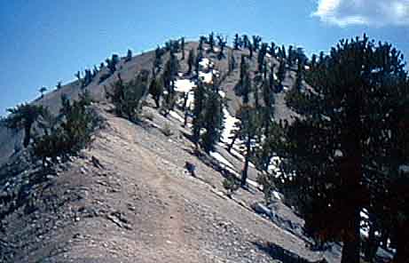
The next day it was down to a pass, then up and over Mt. Baden-Powell (9399 feet - the high point for southern California). There was still some snow - at times deep enough to force me off the trail into an upslope ascent to the trail above the next switchback. Boy was I tired that night!
The next day was up and over a smaller mountain. The scenery is really beautiful at the higher elevations. I reached Agua Dulce Saturday morning, and am staying in a mobile home in the back yard of trail angels Donna and Jeff Saufley.
My blisters are getting bad again, and this time my strategy will be to continue, but to do less miles each day - I plan to limit myself to about 16. I bought Super Feet shoe inserts, Vaseline, and powder for my feet, following the collective advice of my fellow hikers. Robert Bedichek left today. Pat & Walt, Ron, and several others are here now. We visited an all-you-can-eat restaurant tonight, and I plan to head out in the morning.
I expect to arrive at Tehachapi in 7 rather than 5 days due to my planned slower pace. Once I get this blister problem licked, I'll be doing great. I'm still glad to be here and am looking forward to seeing more trail ahead!
Allen
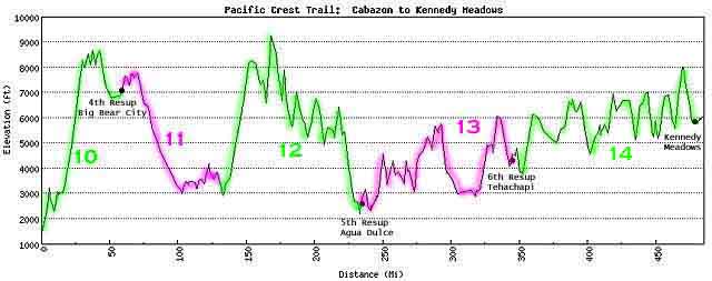
Allen was able to send the report above via email when he reached Agua Dulce. He completed the whole of Chapter D since the last report - May 17 through May 23 - as you can see on the Chapter D Map. If you check the Elevation Map, you can also see that he's been spending quite a bit of time up in thin air!
Another mountain that I had to face, nearly as daunting as Mt. Baden-Powell, was the mountain of mail that piled up while I was gone, but in it was the second set of slides that Allen took from the trail a while back. Again, the way we're handling these is by linking them in with the Installments where they were taken. I've gone back through the Installments and added links to all the new photos. But if you just want to see the pretty pictures, here they are:
Added from scans of Allen's slides on June 3:
Looking Northeast from beyond Apache Creek
To the west from near Ansell Rock showing approaching
clouds
My tent on the trail
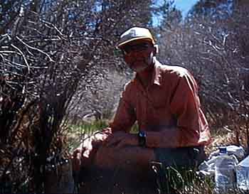
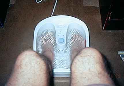
My feet in therapy
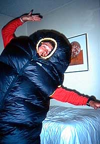
Crucial Equipment test being performed during layover at
Idyllwild
Jason & Lara, Charlotte, Nathan, Jonathan, Yip at Saddle
Junction leaving Idyllwild
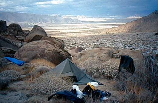
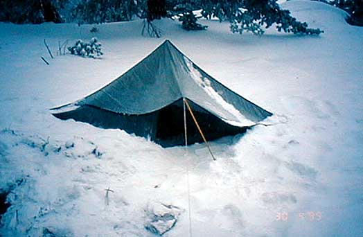
My tent pitched just off Snow Canyon Road
View of the trail in the upper elevations
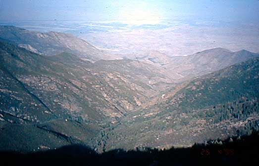
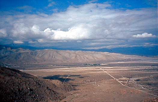
Looking north toward Interstate 10
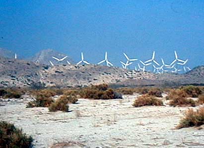
Windmills in San Gorgonio Pass
Added from scans of Allen's slides on June 8:
Soaking my feet in Caribou Creek
Added from scans of Allen's slides on June 11:
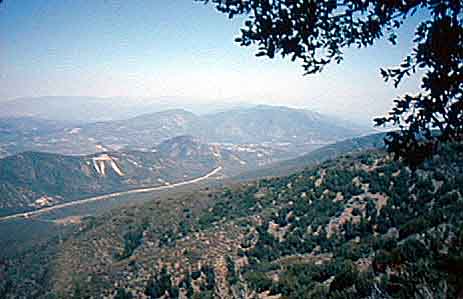
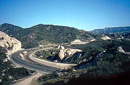
Railroad Tracks at Cajon Pass
Cajon Pass
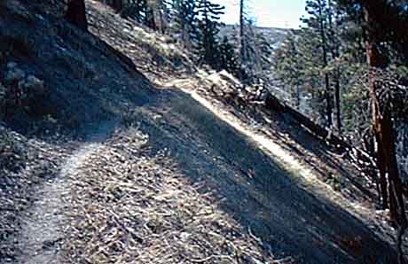
Typical trail shot showing steep banks
Sheep Mountain
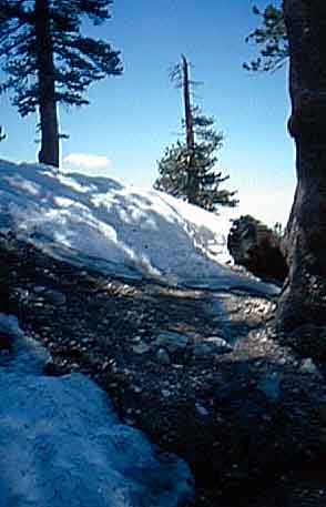
Snow blocking the trail
The reason it's called Pacific CREST Trail
Atop Mount Baden Powell
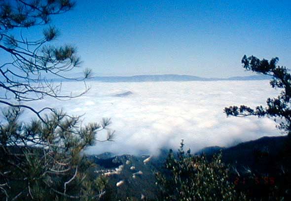
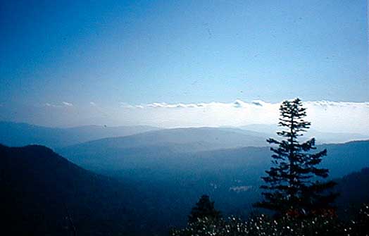
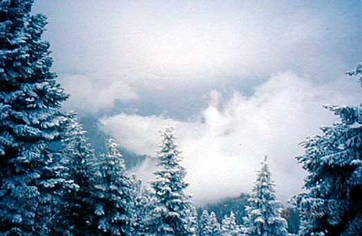
Clouds BELOW the trail
![]()
![]()
![]()